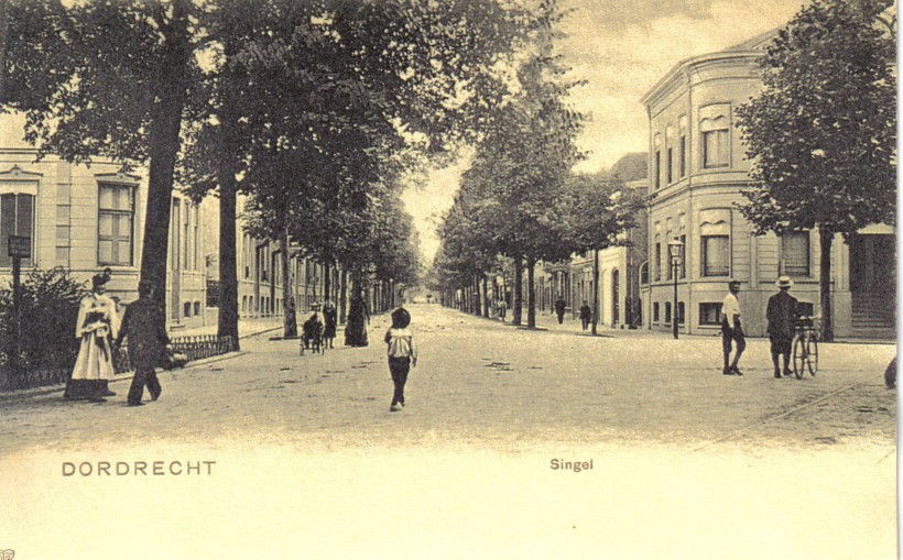
The Singel around 1900, seen from the Johan de Witstraat. No cars, just a few strollers, one bicyle, a dog cart and lots of horse dung.
Our house is on the right hand side. The two big buildings in the front have been replaced.
|
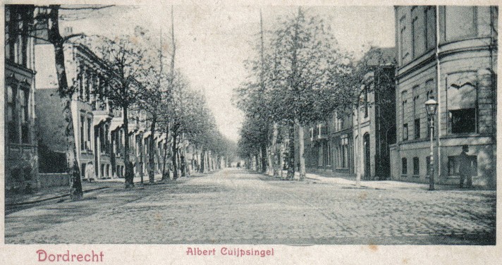
The same situation, but in autumn, allowing more building details to be seen, but far less dung... |
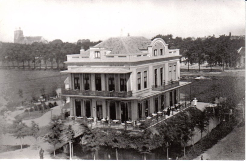
A treasure from the collection of Mrs. Hoefnagel: a card of hotel Ponsen, opposite the railway station, dating 1870.
This card proves that once the Singel had water running through it: behind the hotel to the left, a double row of trees with water can be
seen where currently the Singel is, but without any building. The light patch to the right is probably sand, the beginning of the
construction of this part of the city. That would match nicely with the estimated year our house was build: 1880. |
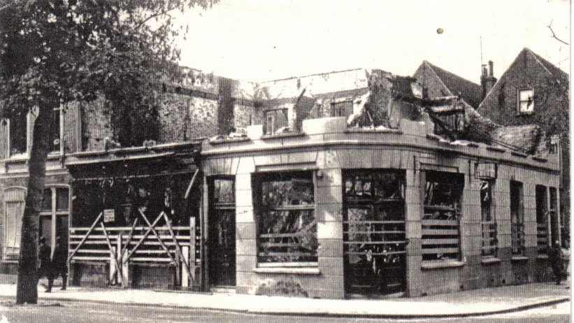
The house at the corner of the next block, locally known as "du Parant", was hit by a bomb in the second world war. |
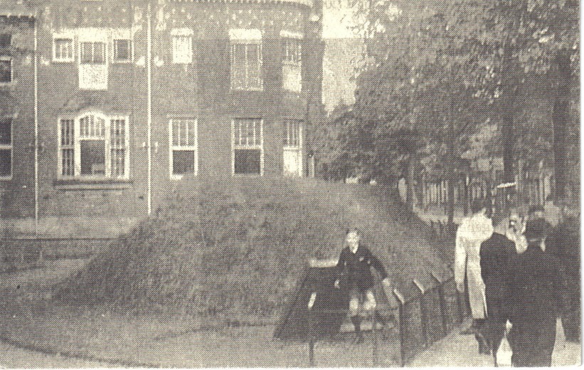
Another revelation for us: a bomb shelter just across the street, next to the bank. |
|